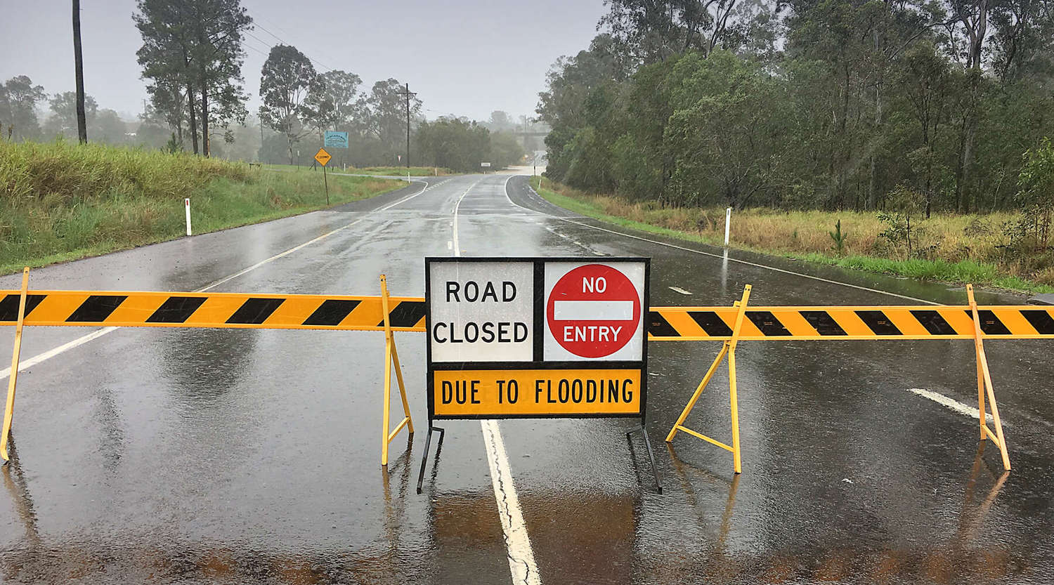
La Niña has returned for a third straight summer. Are we prepared for what might be in store? UniSC academics discuss the prospect of another summer of extreme rainfall for eastern Australia on the back of catastrophic flooding earlier this year.
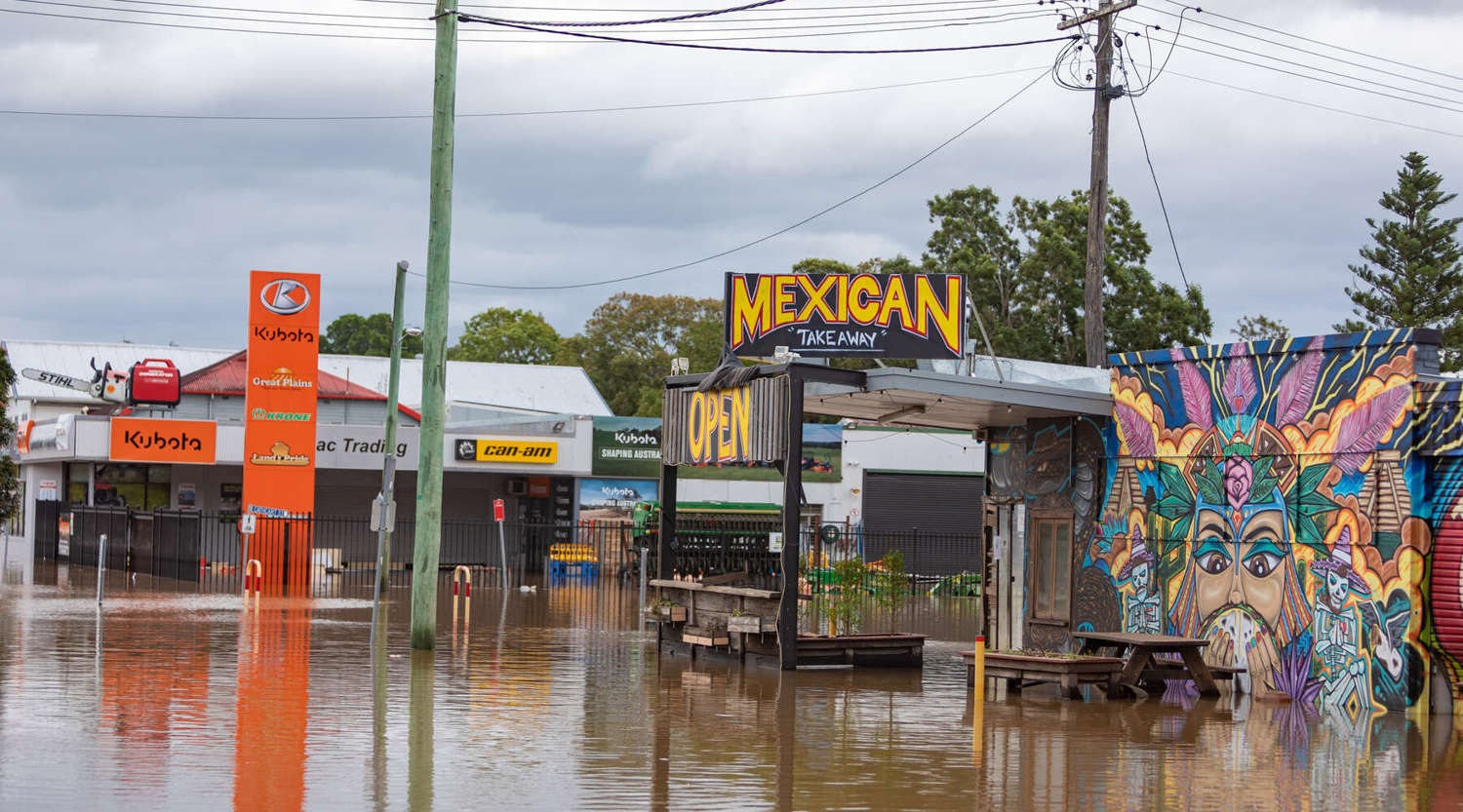
Many households are still reeling, with many houses unrepaired
Sometimes La Niña comes and goes without making much of a splash. But this oceanic weather phenomenon – whose name translates to “little girl” in Spanish – often brings with her increased odds of flooding and cyclones.
A triple La Niña has only happened three other times in the past 120 years, since national rainfalls were first collected.
"The concern with three successive La Niña years is the increased likelihood of flood at a time when the region’s dams are largely full and rivers high." Flood historian Dr Margaret Cook
Dr Cook, whose research focus is the history, recovery and future of flooding in Australia, says with a soaked catchment, the runoff rate will be extremely high.
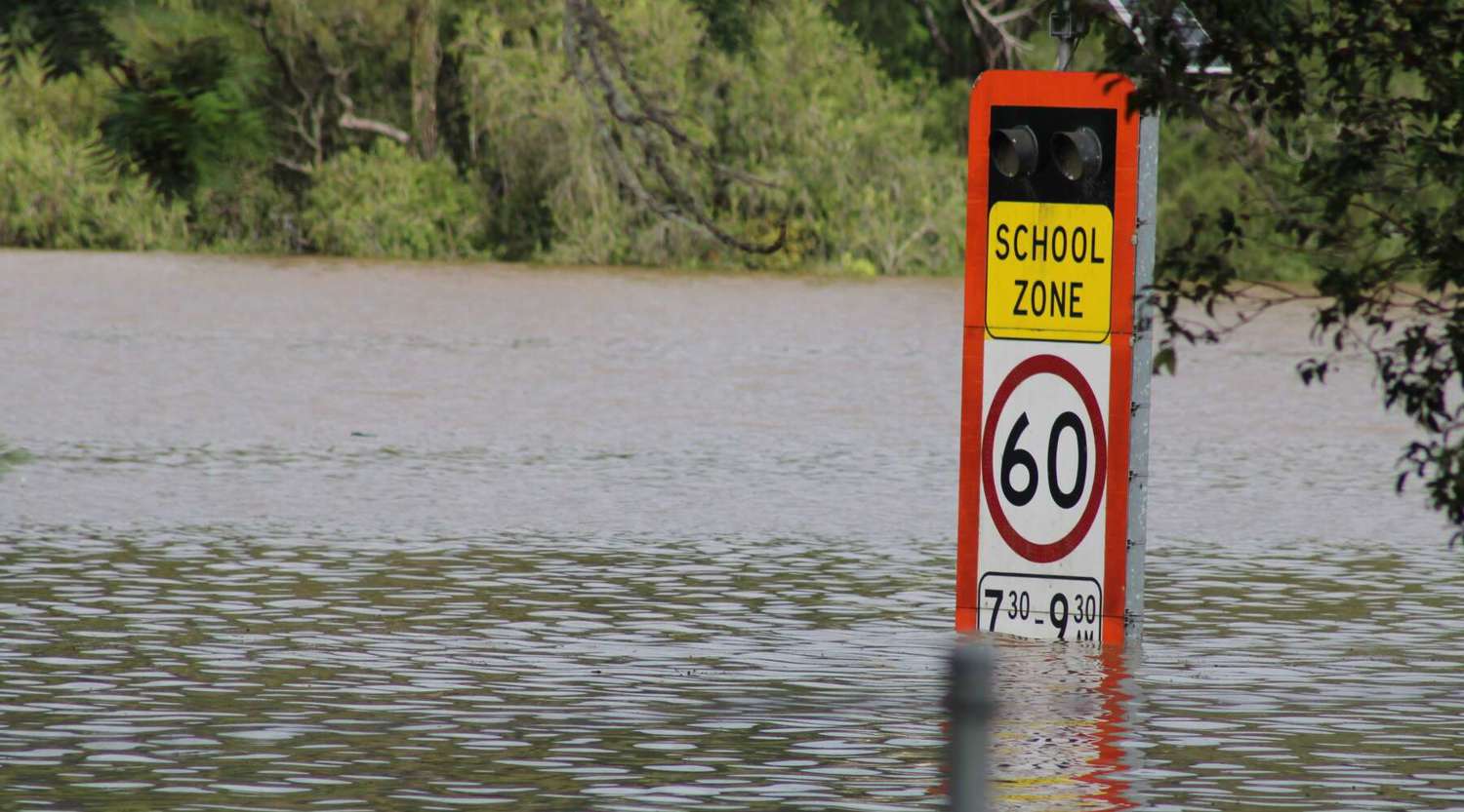
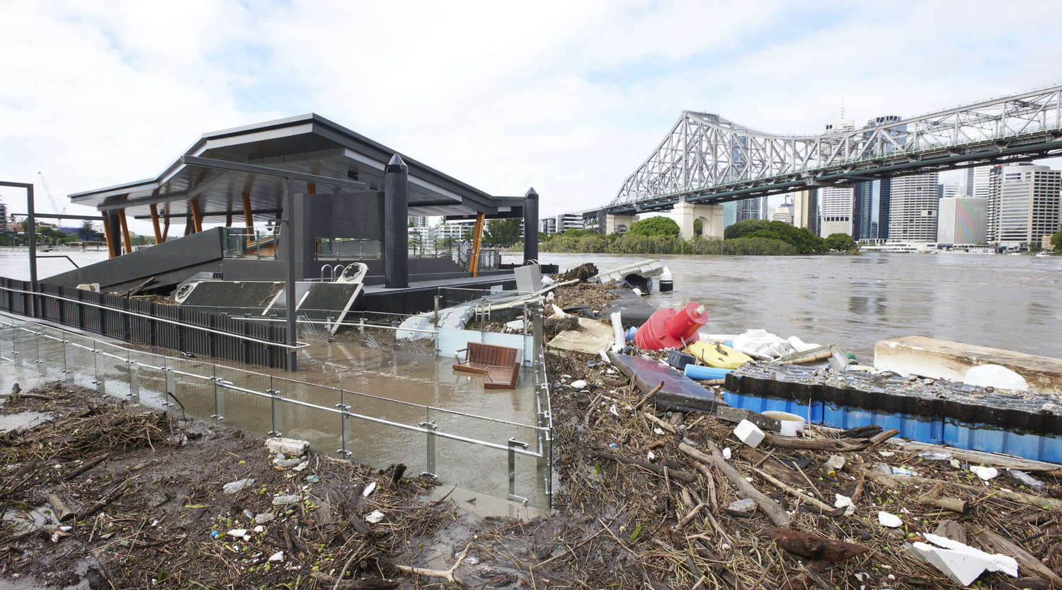
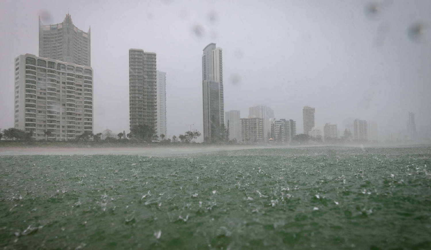
Rainfall records tumbled in Queensland and New South Wales this year, with some places recording flood peaks not seen in more than 100 years.
The sheer scale and intensity of the natural disaster that swamped South-East Queensland and New South Wales caught many by surprise.
Dr Cook says the latest predictions of more extreme weather could be triggering for some.
"With floods so close together it is also easy to feel flood fatigue, a weariness to coping with disasters which erodes our ability to cope."
"As weather patterns continue to change and urban development creates more impermeable surfaces that alters run off, it becomes increasingly difficult to predict what might be in store.
"The big question is, what are we doing to prepare? Forewarned can be forearmed."
She says this is the ideal proactive opportunity. "Moving in advance saves lives, possessions, and heartache."
"As a community we could be mobilising volunteers to help prepare. We need a flood army beforehand, rather than relying on the mud army afterwards to clean up the mess."
Suggestions include storage sheds on high ground that can store possessions and identifying where vulnerable people live and devising a system of community help.
Rough seas ahead
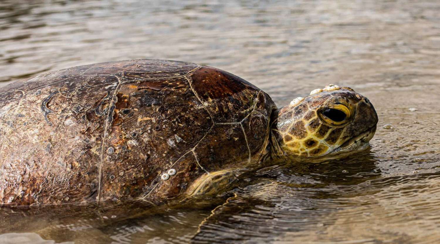
Recent reports of mass marine turtles deaths on the beaches of K’gari Fraser Island and Rainbow Beach are of no surprise to UniSC marine biologist Associate Professor Kathy Townsend.
“We predicted this would happen. Marine reptiles are struggling to find food. Hundreds of turtles are in danger of starving to death in coming months."
"It is only going to get worse, even without the prospect of more extreme rainfall and possible flooding.” UniSC Associate Professor Kathy Townsend
The cause is sediment washed out from rivers and creeks from months of unusually heavy rainfall and flooding earlier this year that has smothered seagrass meadows, taking away the primary food source of turtles and dugongs.
In some areas, such as the Fraser Coast, only one percent of seagrass beds remain, says Dr Townsend.
"If we have another season like this one, it is not going to be good. Expect more starving turtles. And more dugong strandings also.”
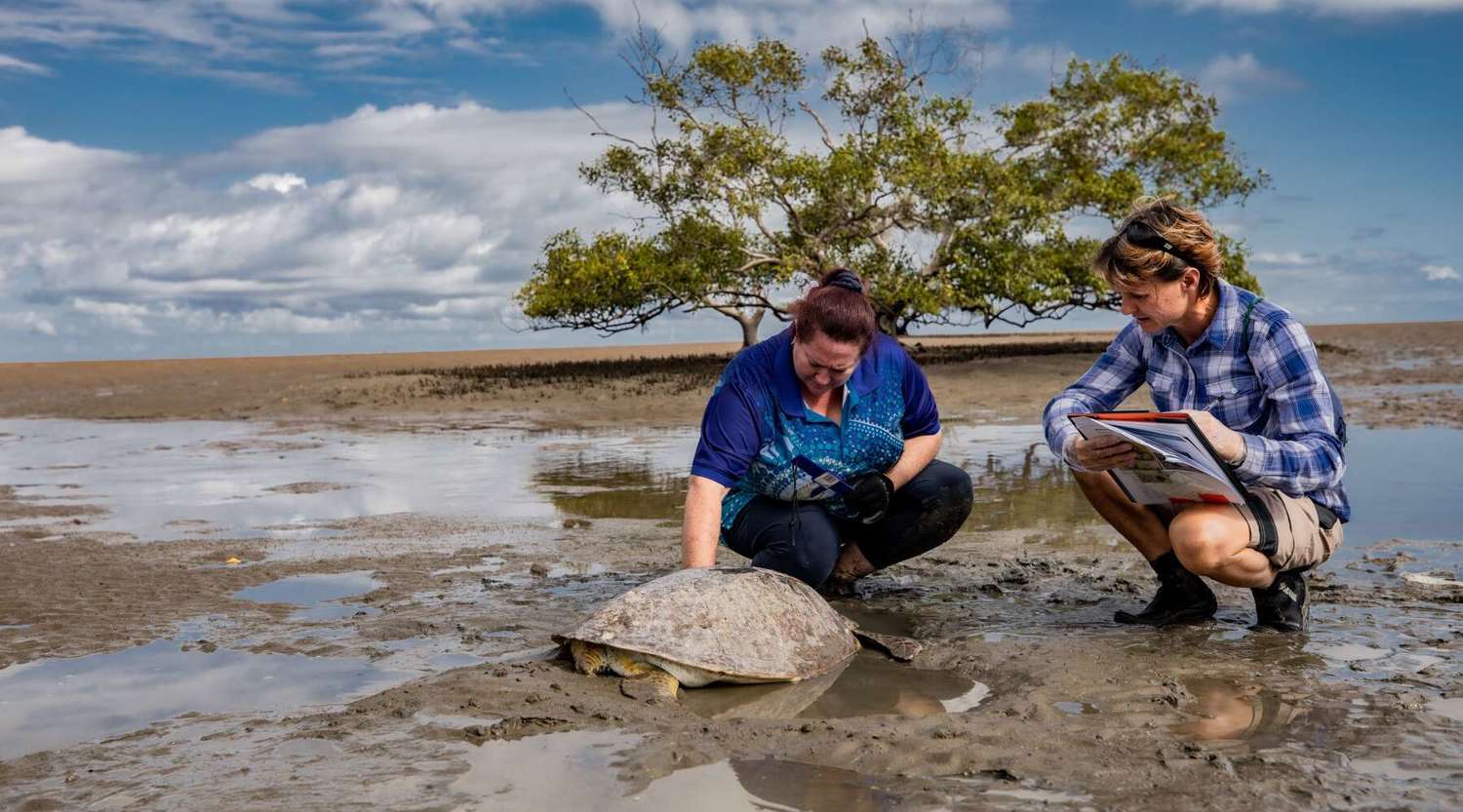
UniSC is a lead partner in initiatives, including Turtles in Trouble Rescue, to help as many sick and injured turtles as possible.
Deceased turtles are taken to UniSC's Fraser Coast lab for necropsies. It is part of vital research on their health and movements to gain new insights into the threats facing the world’s sea turtles.
Anyone finding a stranded, sick or injured turtle is asked to report it to the DES Marine Stranding Hotline by phoning 1300 130 372.
With La Niña now persisting into 2023, how will our beaches cope with the possibility of further flooding and erosion?
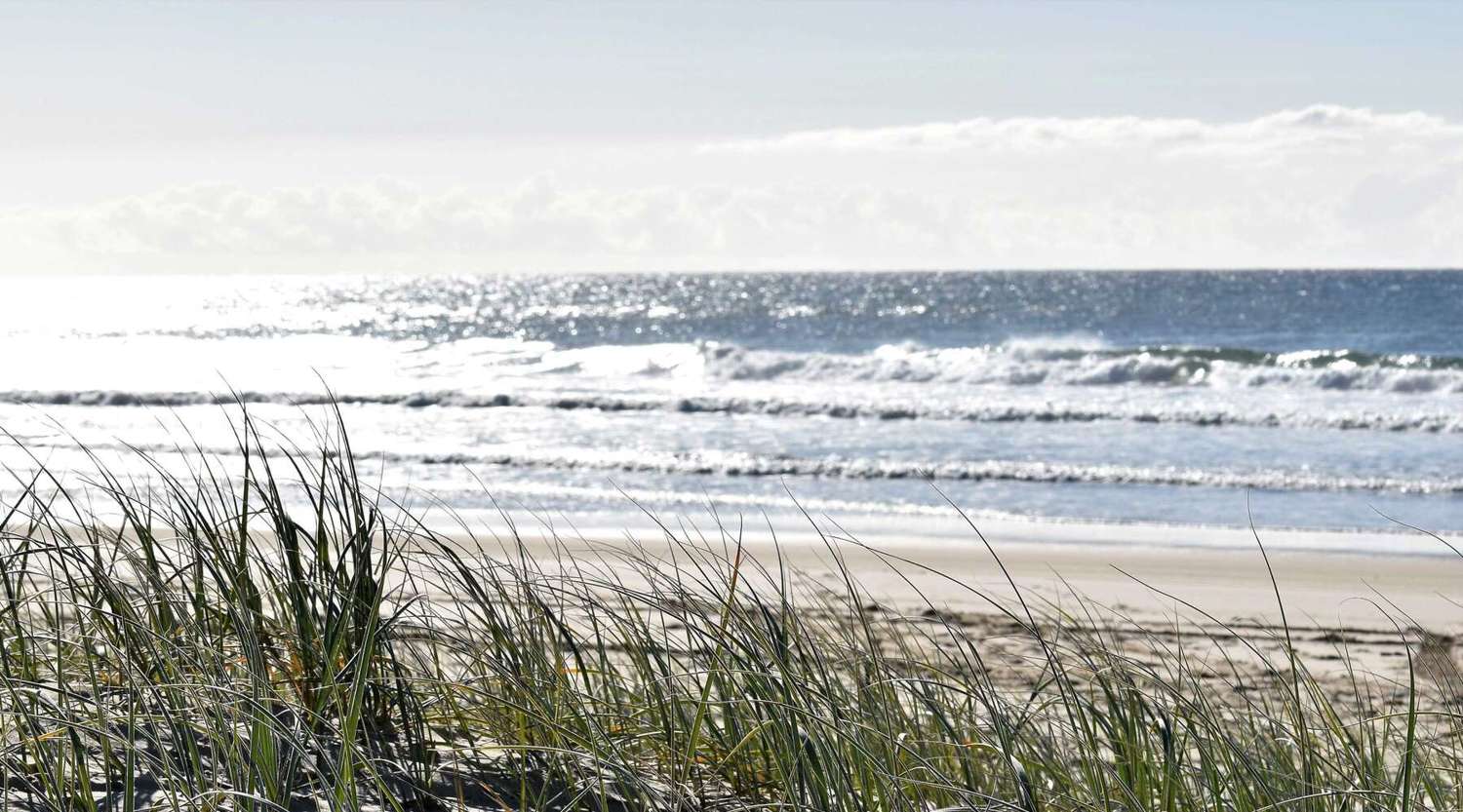
The most recent extreme weather events have taken their toll on many beaches and dunes along Australia’s eastern coastline.
“There is considerable erosion,” says UniSC geographer Dr Javier Leon.
"For example, we’ve observed that between Coolum and Sunshine Beach on Queensland’s Sunshine Coast, the dunes have eroded landwards by 15-20 metres and up to 3 metres in height.
“This has happened without major storms or cyclones."
Dr Leon says the chances of significant cyclones and storms are higher for the forecasted conditions this upcoming season.
"In the worst case, we can expect levels of erosion similar to 1974 when conditions were similar with three back-to-back La Niña events.
“On a positive note, dune vegetation has grown with the rains so that might offer some additional protection to some areas.”
"A key learning from the recent floods is that our climate is supercharged by heating and that, literally, when it rains it pours. We have to be ready and prepared for worst case scenarios." Dr Javier Leon
Research is a critical element in steps to mitigate the impact of coastal erosion from a changing climate.
"We are monitoring shoreline changes together with citizen scientists for our Coast4D project, which is supported by the Queensland Government—Engaging Science Grants," Dr Leon says.
Imagery from satellites, fixed-cameras and drones is also used to better understand changes along the coastline, as part of a collaboration between UniSC, Noosa Council, EOMap and the University of Queensland, funded by the Queensland Earth Observation Hub.
“This information is essential when it comes to coastal management and mitigation.”
A wet triple-whammy
The scene was already set for above average spring-summer rainfall for much of Australia, says Dr Adrian McCallum, who lectures in weather and climate at the University of the Sunshine Coast.
That is thanks to a negative Indian Ocean Dipole that tends to change wind patterns and increase rainfall over Australia’s southeast in spring.
La Niña and a negative Indian Ocean Dipole aren’t a great combination. When they do coincide, both tend to become more extreme, according to the Bureau of Meteorology.
La Niña and her opposite counterpart, El Niño who typically brings drought to Australia, are phases of the El Niño–Southern Oscillation (ENSO). Usually they happen every two to seven years, providing us with a buffer of neutral years in between.
So what factors are driving these unpredictable weather patterns? Dr McCallum said the jury is still out.
“In short, it’s complicated, and it appears that our climate models don’t quite capture the complexity of what’s going on.” Dr McCallum
“Some scientists say it’s just a random blip in the climate.” Others suggest this could be the new normal.
“The latest Intergovernmental Panel on Climate Change says that La Niña events have been more frequent and stronger since 1950, but can’t nail-down why,” he says.
“Some scientists question the climate models, and some suggest that as Arctic ice melts, ocean currents and winds change, leading to La Niña events."
History Lessons
What does history tell us from the last triple La Niña events from 1954-57, 1973-1976 and 1998-2001?
Expect rain. Lots of rain
Australia's longest sustained La Niña period on record was the 1970s cluster.
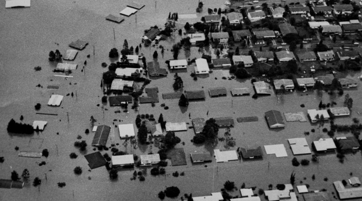
"1974 was Australia’s wettest year on record and 1973 and 1975 in the top five,” says Dr Cook.
La Niña increases the chance of cyclones, and during this period three – Cyclones Una, Vera and Wanda – brought accompanying monsoonal troughs to Queensland.
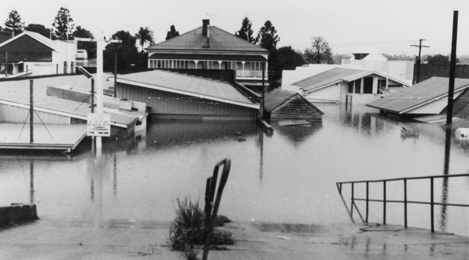
In January 1974, 900,000 million tonnes of rain fell, flooding much of the state.
The 1950s cluster also left a wake of widespread destruction and disruption.
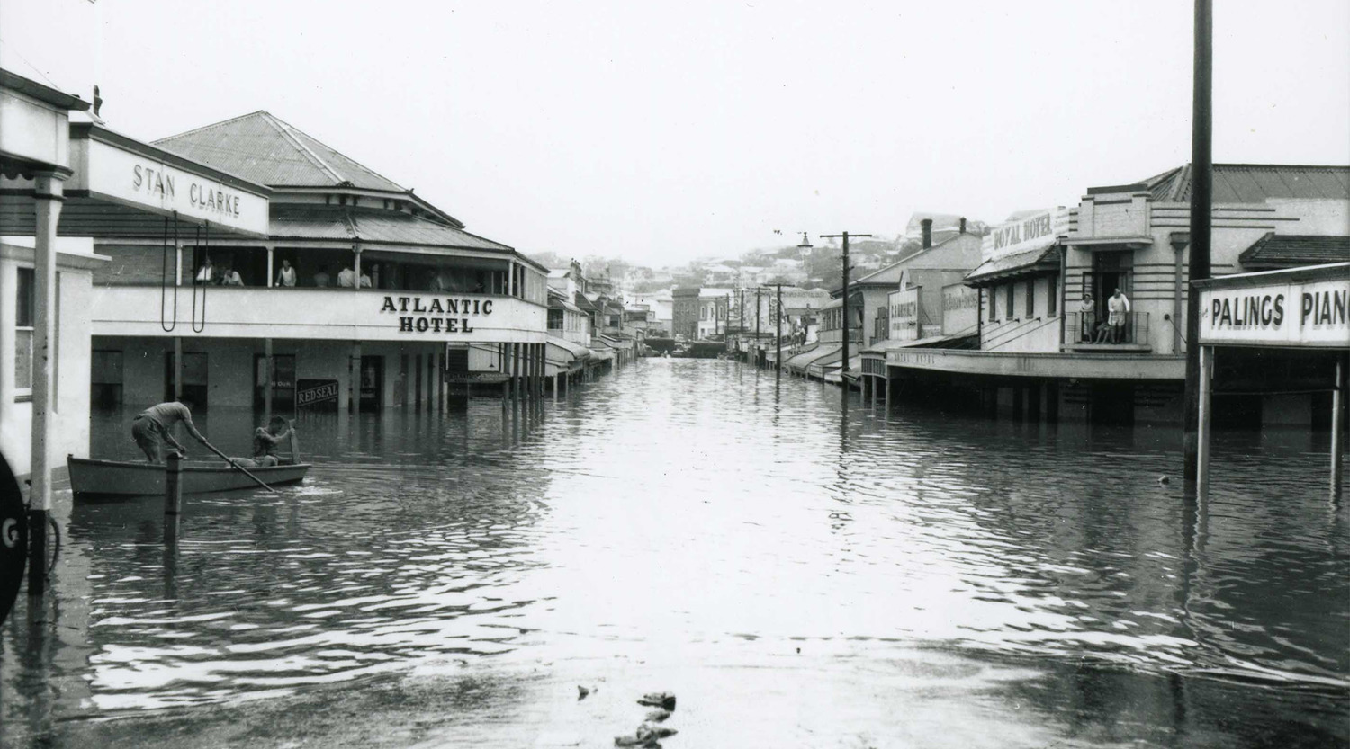
“The 1954 floods today remain the largest and most devastating to ever hit many communities on the New South Wales north coast,” says Dr Cook.
“The following year, a cyclone brought serious floods to Southeast Queensland at the end of March. Rainfalls of 250 to 500mm over the Mary Valley caused the worst 20th century floods. The peak at Gympie was the highest since 1893, with a height of 3metres in the main street.
The three back-to-back La Niña events from 1998-2001 might not have brought record-breaking floods but there was still widespread, above-average rainfall and inundation, especially in Queensland and New South Wales.
If any city paints a picture of the impact of a La Nina triple threat it just might be the Queensland town of Gympie.
Four of its worst flood events occurred during this rare phenomenon in 1955, 1974, 1999 and 2022.
Coping strategies
How do those still recovering from recent flood events cope with the thought of going through it all again? And what lessons can we take on board from most recent events?
UniSC Senior Lecturer in Psychology Dr Rachael Sharman says research shows that for the most part, people can generally get through disasters with appropriate amounts of social support and practical assistance.
“It is bad enough to go through one actual disaster, but imagine being dumped by a wave and you come up for air, and another wave rolls over the top of you. It really is the same thing.” Dr Rachael Sharman
"What we know less of is the psychological impact of these repeated disasters. There is not a lot of research on that repeated trauma, but you can guarantee that it is going to be worse. And that’s a problem."
“Apart from the obvious stress of having your home or business flooded, it really is the disorientation that really hits people afterwards.
“When disasters happen in quick succession, it is much more than just clean up and keep calm and carry on.
"It is a much bigger question than just how do I get through this one trauma. It can be life changing. What is my future now? Can I go on living here?"
Focus on the problem
"The one that comes up trumps in terms of people actually getting through things such as floods and other disasters, and feeling better about it, is what we call problem solving coping."
"My advice is to really break down what the problem is and what you need to do to mitigate it," says Dr Sharman. "This gives people a much better sense of control over their environment, which relates to much lower levels of stress."
This could be planning ahead in case of a disaster, implementing flood-proofing measures, or even choosing to relocate.
“It really is throwing yourself into practical solutions to problems or finding ways to minimise the damage that might occur.
Avoiding the helpless mindset
Dr Sharman says it is also important not to fall into the trap of 'learned helplessness'.
"This occurs when people "learn" that their efforts no longer matter, so they simply give up," she says.
"Even when a clear avenue out becomes available, they don't take it, so entrenched is their thinking that nothing will help."
"It really is just being aware that it is a mindset that occurs, so reflect on whether you're missing obvious avenues of help because you're just feeling so defeated."
Dr Sharman says another key piece of advice is to stay connected to the people who are important to you and organisations who can help.
Holiday blues
Holiday makers are again facing the possibility of disrupted plans, on the back of almost three years of COVID-19 cancellations, wet weather and flooding.
It seems the solution could be getting in early, chasing flexibility or heading overseas.
“The pent-up demand following three summers of disruption will likely witness individuals and groups seeking to make travel plans where possible in advance to take advantage of early bird bookings and not risk destinations being booked out,” says UniSC Lecturer in Tourism Dr Aaron Tham.
“In addition, these holiday makers may choose tourism operators that have flexible booking policies and allow for cancellations as close as possible to original travel dates.”
The threat of another wet summer could also see more holiday makers heading overseas.
“Those who are navigating the unpredictability of La Nina in Australia may decide instead to travel to international destinations that are perhaps not as adversely impacted by such volatile summer seasons.”
There is already proof of this trend.
“On Destination Insights with Google, searches for travel keywords by Queensland users between April and July 2022 revealed a 75% increase in searches for South-East Asian destinations like Indonesia, Singapore and Thailand,” Dr Tham says.
Others are ditching a summer holiday for skiing in countries like Japan and South Korea, which are witnessing increased Australian tourist bookings for December 2022 to February 2023.
So where does this leave tourism operators?
“The La Nina effect is going to require Australia’s tourism operators to be dynamic in terms of their offerings, working very closely with other stakeholders to deliver the quality products and experiences that we are best known for," says Dr Tham.
"Some tourism operators whose businesses were swamped by flood waters earlier this year are still waiting to rebuild or have closed their doors." Dr Aaron Tham
But Dr Tham says it is not all doom and gloom as the tourism industry shows its resilience in the face of yet another wet, unpredictable spring and summer.
“When it comes to a third La Niña, I think it will be a case of what will be will be.”
It has been mostly small to medium enterprises that have felt the full impact of these disruptions so far.
“The significant floods that occurred in February and April this year have resulted in numerous insurance claims from tourism operators in regions like Gympie – many of whom have waited six months or more for their payout,” says Dr Tham.
"Several have already decided that the effects of La Niña are far too much to bear."
"They have decided not to reopen after being confronted by repair costs and exorbitant insurance premiums, due to being in bushfire or flood prone areas."
Overall, the tourism industry is displaying resilience and has been busy strategising for recovery.
“It is building back stronger and working in a more collaborative way to deal with potentially deleterious impacts of climate change,” says Dr Tham.
New initiatives include a CrisisReady app to helps tourism businesses equip themselves with the relevant toolkits and notifications on imminent disasters, a collaboration between the Queensland Tourism Industry Council and EarthCheck.
Dr Tham says tourism operators can be on constant alert for predicted threats such as significant rain or bushfire events and notify customers in advance of whether they would like to cancel or postpone travel.
"Likewise, planning and design of tourism infrastructure can be better supported with scenario planning tools, such as maps on Climate Central that predict the effects on coastlines when sea levels rise, or global temperatures increase over the next few decades.
"These help governments, businesses and investors consider where is most suitable to develop future infrastructure, and deal with potential crises.”
Media enquiries: Please contact the Media Team media@usc.edu.au


